What is it about?
We present a method based on an inversion algorithm that automatically inverts subsidence signatures for tunnel radius, depth, Poisson’s ratio, and the gap parameter. It is an advancement over conventional methods because it does not require a first guess, and it can invert several subsidence signatures. These signatures caused by underground construction have been detected by Satellite-based monitoring techniques using synthetic aperture radar.
Featured Image

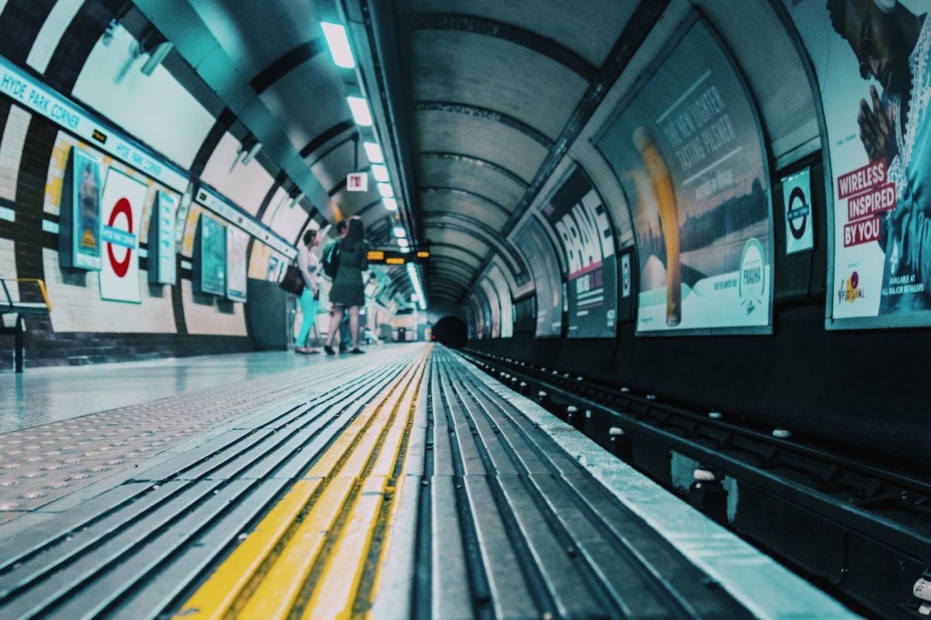
Photo by John T on Unsplash
Why is it important?
In urban environments, tunnels (e.g., subways, underpaths, or intrusive excavations) can cause lateral soil movement and settlement. Such ground movements are developed from changes in soil stresses around the tunnel face and the over excavation of the final tunnel cavity. These phenomena can induce damage to nearby structures such as buildings and highways and can endanger human life. Therefore, it is important to assess building damage in areas close to the path of the tunnel using monitoring techniques like remote sensing
Perspectives
An inversion technique for tunnel geometry and host medium properties, as presented in this article, could invert several subsidence signatures in a matter of minutes. This technique, coupled with the large footprint of satellite-based displacements maps, could be very cost effective in operational characterization of several displacement anomalies associated with tunnels.
Geophysicist Jorge O Parra
Southwest Research Institute
Read the Original
This page is a summary of: Nonlinear inversion of subsidence signatures induced by tunnels detected with surface and remote sensing measurements, The Leading Edge, July 2019, Society of Exploration Geophysicists,
DOI: 10.1190/tle38070550.1.
You can read the full text:
Contributors
The following have contributed to this page


