What is it about?
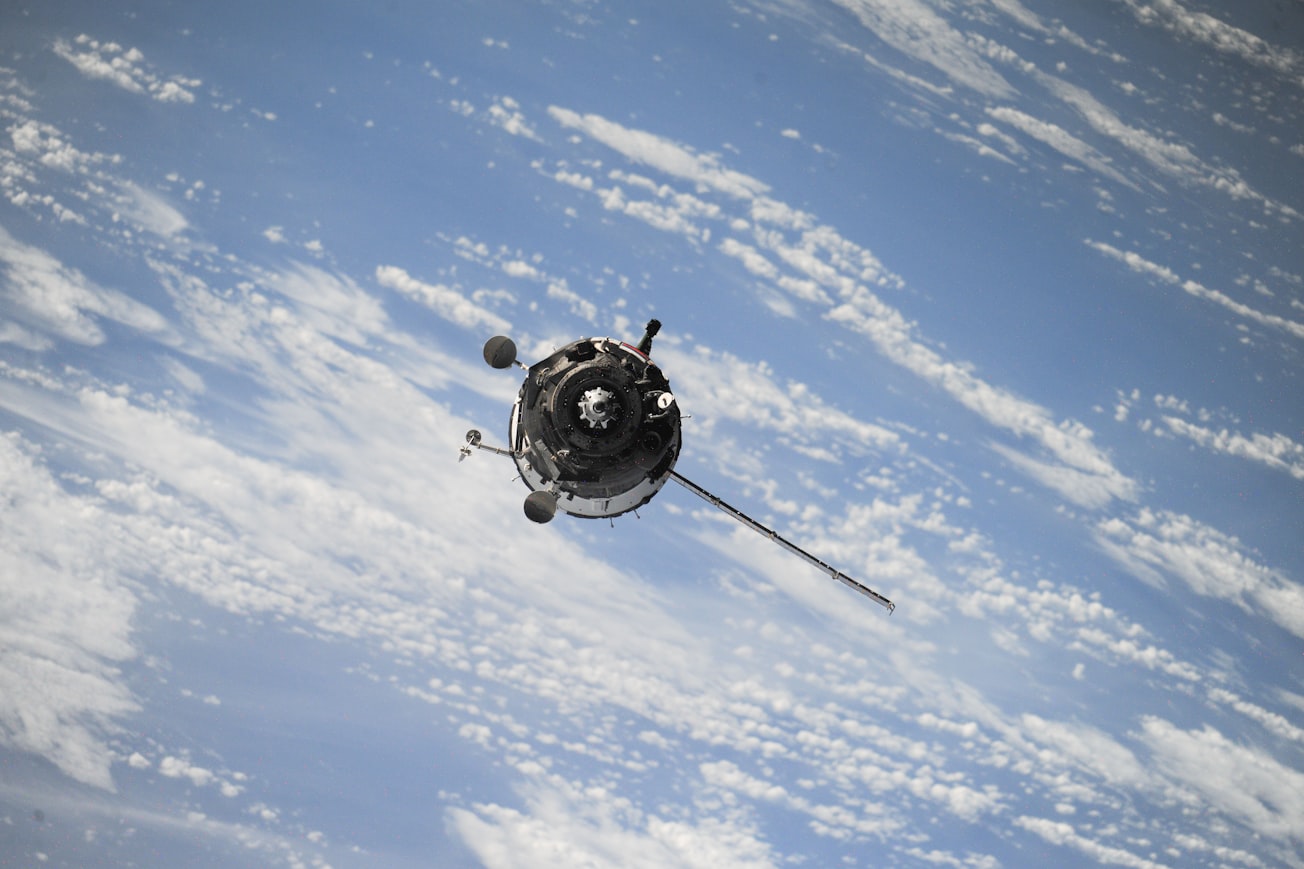
We used satellite imagery to quantify the amount of air pollution over mainland China, Hong Kong, Macao and Taiwan between 2000 and 2016. Imagery taken by NASA satellites were used to build machine learning models to estimate the concentrations of PM2.5 – particulate matter less than 2.5 um in diameter.
Featured Image

Photo by NASA on Unsplash
Why is it important?
Exposure to air pollution is linked to many adverse health outcomes, therefore is a major public health concern in much of the world.
Perspectives

The overwhelming majority of the world's population breathe dirty air but ground monitoring of air quality is expensive and sparse. Using satellite data to study air pollution is a promising way to gain a deeper understanding of how it affects the health and wellbeing of people without access to air quality data.
Yang Liu
Emory University
Read the Original
This page is a summary of: The 17-y spatiotemporal trend of PM
2.5
and its mortality burden in China, Proceedings of the National Academy of Sciences, September 2020, Proceedings of the National Academy of Sciences,
DOI: 10.1073/pnas.1919641117.
You can read the full text:
Contributors
The following have contributed to this page


