What is it about?
The present scenario is witnessing the environmental changes leading to global climate change which is mainly human-induced. The main factors are deforestation, erratic changes in land use and land cover, agriculture development and increasing urbanization [1]. Climate change and intensive human activities are not only deteriorating the land cover but are also responsible for altering the river systems throughout the world [2,3]. The relationship between anthropogenic pressure and environmental degradation were studied by several researchers such as soil fertility decline [4], deforestation [5], soil and water resources degradation [6] and plant biomass production [7]. Much of our river basins have also been affected due to the developmental activities. The impact on hydrological characters of a river basin is mainly because of the anthropogenic factors like dam construction, Lee and bridge construction, sand-gravel mining, ground water withdrawals and industrialization [8,9].
Featured Image

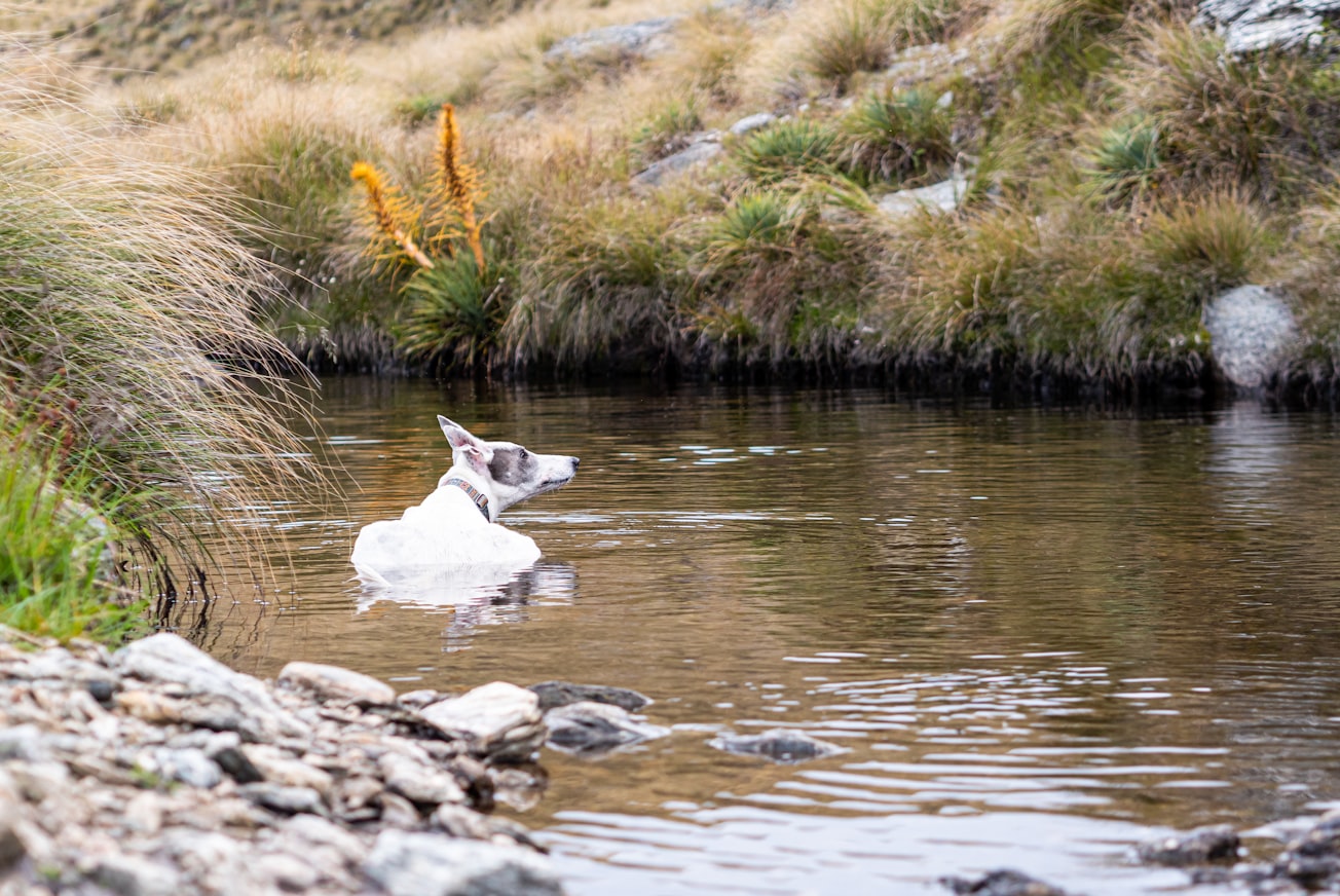
Photo by Tonia Kraakman on Unsplash
Why is it important?
Changing patterns of land use and land cover have exploited the natural resources. Soil, water and forests are degraded, both quantitatively and qualitatively. Deforestation in recent years has led to changes in the environment and more of soil erosion and loss of potable water. In order to conserve and sustainably use soil and water, a watershed management approach is necessary. It helps in restoring water by increasing the infiltration and reducing the erosion of soil. Such measures should be propagated in rainfall deficit areas. The present study has attempted to study the upper watershed part of Subarnarekha basin in Jharkhand state of India. Remote sensing satellite data (Landsat 8 OLI/TIRS 2013) was used for delineation of the land use/land cover and vegetation index maps. Several thematic layers like slope, drainage and rainfall were integrated to achieve a priority area map using spatial multicriteria decision making. It delineated high medium and low priority areas within the watershed for soil and water conservation. The high priority area was 16.63% of the total study area. Further, the causes were analysed and conservation measures proposed.
Read the Original
This page is a summary of: Soil and Water Conservation Prioritization Using Geospatial Technology – a Case Study of Part of Subarnarekha Basin, Jharkhand, India, AIMS Geosciences, January 2017, American Institute of Mathematical Sciences (AIMS),
DOI: 10.3934/geosci.2017.3.375.
You can read the full text:
Contributors
The following have contributed to this page


