What is it about?
Land degradation driven by soil erosion, salt buildup (salinization), and high temperatures threatens agriculture, food security, and ecosystems, especially in vulnerable regions like the southern main Ethiopian Rift. In this study, researchers combined multi-source satellite imagery, climate records, and machine learning models to build a high-accuracy land degradation vulnerability map. The results show that a large portion of the study area faces moderate to high risk, with soil salinity and surface erosion acting as the primary triggers. By pinpointing vulnerable zones with high reliability, this work gives environmental planners and local policymakers the precise data needed to target conservation efforts and protect fragile agricultural lands.
Featured Image

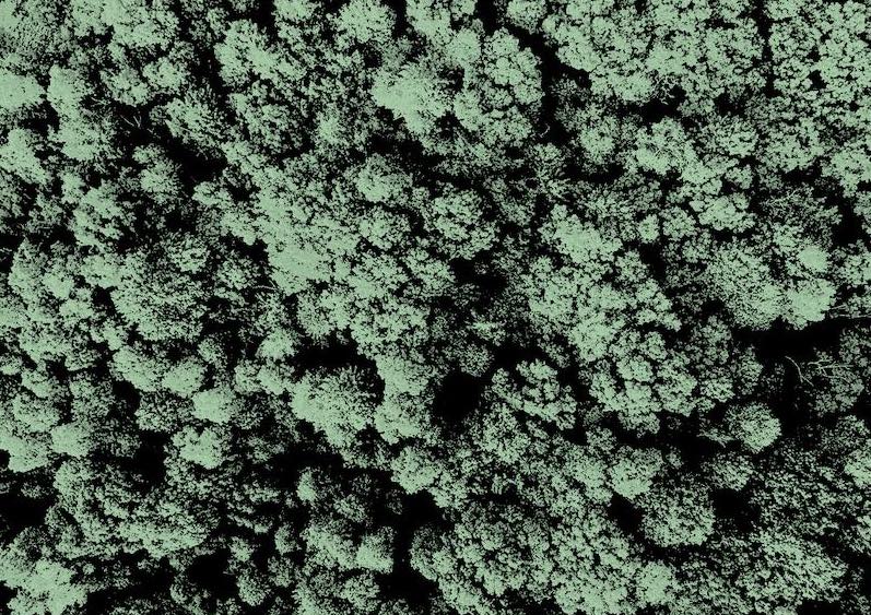
Photo by NASA Hubble Space Telescope on Unsplash
Why is it important?
Land degradation in rift valleys is a complex problem driven by simultaneous salinity, thermal, and climatic stresses. Traditional mapping methods often assess these factors in isolation, leading to incomplete risk estimates. This research is unique because it integrates multi-sensor satellite observations with advanced machine learning algorithms to model land degradation vulnerability under combined salinity and hydrothermal stress. By delivering high-resolution spatial maps and identifying the principal environmental drivers, this study provides actionable insights for land managers, policymakers, and conservationists working to protect agricultural productivity and ecosystems in semi-arid rift environments
Perspectives
As environmental stress in arid and semi-arid regions intensifies, reliable spatial data becomes essential. Working on this study highlighted how modern Earth observation and machine learning can transform complex environmental data into clear, practical tools for decision-makers to implement targeted soil and water conservation.
Talema Moged Reda
Ethiopian Space Science and Geospatial Institute
Read the Original
This page is a summary of: Multi source Earth observation and machine learning framework for mapping land degradation vulnerability in salinity- and hydrothermal-stressed regions of the southern main Ethiopian Rift, PLOS One, September 2026, PLOS,
DOI: 10.1371/journal.pone.0359349.
You can read the full text:

Resources
Contributors
The following have contributed to this page