What is it about?
Decades of research have revealed a lot about how downbursts form and what weather-radar features might be useful in predicting their development. However, downbursts are still difficult to predict especially when they form in short-lived, disorganized storms. Therefore, this research explores a relatively new weather-radar feature that can alert forecasters to processes like melting, which typically lead to stronger downdrafts and downbursts. We look at characteristics of this radar feature for 81 downbursts in 10 different states to see if it can be used to anticipate downburst development and predict how strong a downburst might be.
Featured Image

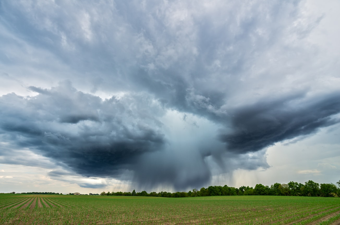
Photo by NOAA on Unsplash
Why is it important?
Downbursts pose a risk to life, property, and air travel. Previous research has identified weather-radar features that can be helpful in predicting downbursts, but some of these features change quickly and can be hard to use when issuing warnings for damaging winds. Since predicting downbursts is still a challenge, we studied a relatively new radar feature, called a Kdp core, to see if it might provide useful and reliable information about downburst development. We found that the Kdp core provides a good signal that a downburst is about to develop and also gives some idea about how strong that downburst might be. How favorable atmospheric conditions are for downburst development are also related to how strong the Kdp core and downburst might be.
Perspectives
This research began thanks to collaborations with a National Weather Service forecaster and we hope that it will be useful to forecasters as they anticipate downburst development. The results suggest that this weather-radar feature provides a useful tool for anticipating downburst development especially when atmospheric conditions and other radar features are used at the same time. We thank the many forecasters who have provided input and feedback during the research process.
Charles Kuster
National Severe Storms Laboratory
Read the Original
This page is a summary of: Using KDP Cores as a Downburst Precursor Signature, Weather and Forecasting, April 2021, American Meteorological Society,
DOI: 10.1175/waf-d-21-0005.1.
You can read the full text:
Contributors
The following have contributed to this page


