What is it about?
Weather radar can measure storm-scale rotation and from that estimate the approximate location and relative intensity of a tornado. This paper examines feedback collected from 188 public safety officials (including emergency managers) via an online survey and in-person focus group about five different tornado track estimation products. Topics covered include: 1) decisions public safety officials make with the support of weather radar, 2) potential public safety official use and preferences regarding the tornado track estimation products, and 3) impact of radar update time on product usability.
Featured Image

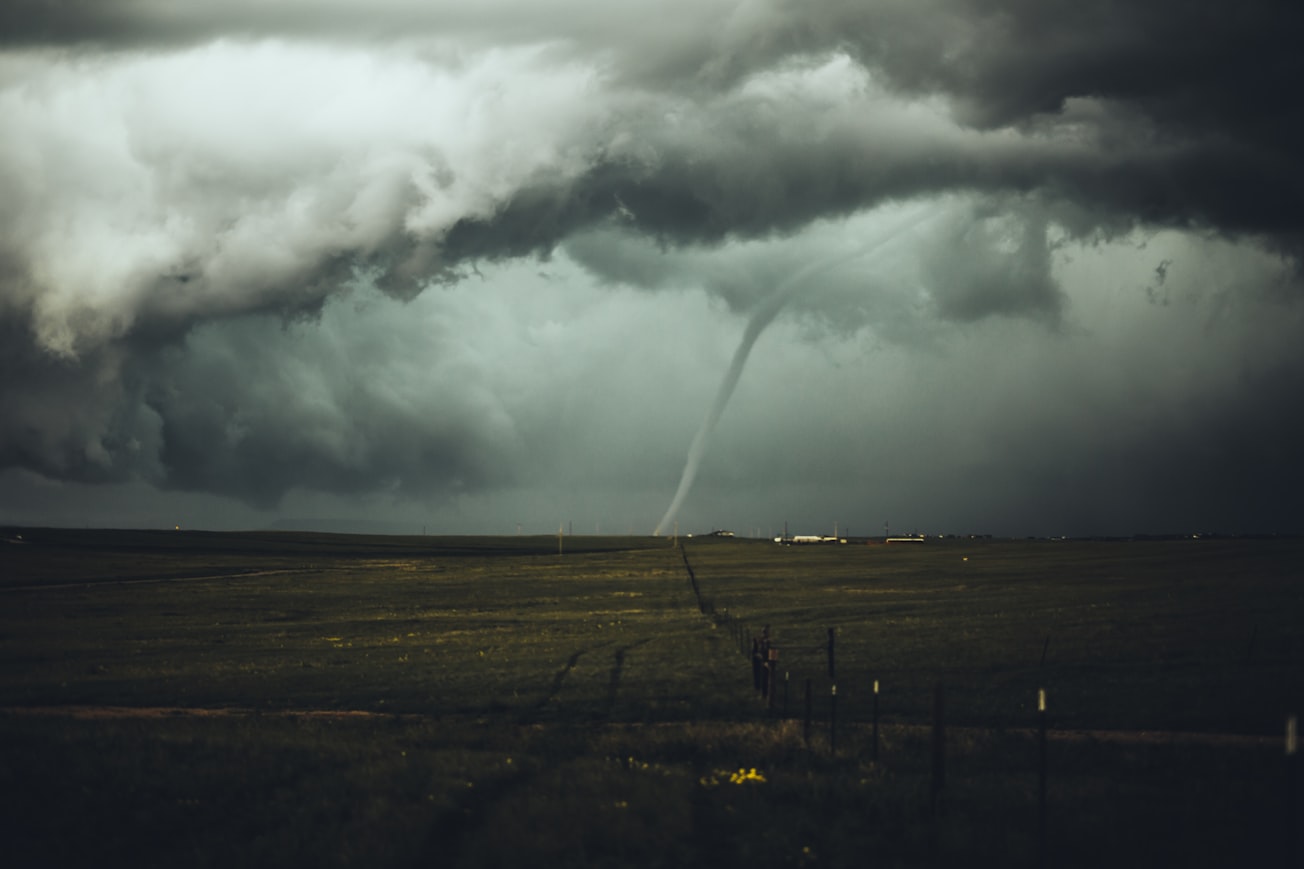
Photo by Nikolas Noonan on Unsplash
Why is it important?
Public safety officials are an important user of weather radar data so their involvement in the development of radar products is vitally important to the successful use of such products. This study aims to gather feedback from this user group, involve them in the research process, and modify or highlight products based on their needs and preferences. Such an effort could make the products more usable and more likely to be used when made operational. Key findings include: 1) public safety officials prefer easy-to-use interactive products that are provided in real time, 2) communication of product strengths and weaknesses is important for effective use, and 3) products created using rapid-update radar data were clearer and easier to understand and therefore more likely to be used.
Perspectives
Being involved with the public safety official community is one of my favorite aspects of research. They are a hard-working, energetic, service-oriented group that uses a lot of weather information in their decision making. I highly encourage involvement and interaction with this community.
Charles Kuster
National Severe Storms Laboratory
Read the Original
This page is a summary of: An Evaluation of Radar-Based Tornado Track Estimation Products by Oklahoma Public Safety Officials, Weather and Forecasting, October 2017, American Meteorological Society,
DOI: 10.1175/waf-d-17-0031.1.
You can read the full text:
Contributors
The following have contributed to this page


