What is it about?
Bark beetle outbreaks can severely damage coniferous forests, but identifying all affected areas through field inspections is costly, time-consuming and difficult to scale. This paper introduces GANDALF, an artificial intelligence approach for mapping forest areas affected by bark beetles using Sentinel-2 satellite images. Instead of processing satellite data only as conventional numerical images, GANDALF transforms their spectral and spatial information into semantic stories expressed as text. A pretrained language model is then adapted to analyse these stories and classify forest areas as healthy or affected by bark beetle outbreaks. The approach also applies an explainable AI technique to identify which elements of the satellite-derived stories have the strongest influence on its decisions.
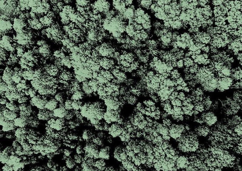
Featured Image

Photo by Kenrick Baksh on Unsplash
Why is it important?
Large-scale and timely maps of bark beetle damage can help forest managers assess the extent of an outbreak and plan appropriate mitigation measures. Satellite imagery makes it possible to observe wide and sometimes inaccessible forest areas. GANDALF explores an innovative way of extracting value from these data by connecting Earth observation with the capabilities of large language models. The experimental results show that a language model trained on semantic representations of satellite data can outperform several established deep-learning models for mapping bark beetle outbreaks. The explainability component is also important because it helps researchers understand which spectral and spatial characteristics of the forest contribute to the model’s predictions.
Perspectives
With GANDALF, we investigated whether satellite images could be translated into a form that language models are able to understand. The key idea is to represent the spectral and spatial characteristics of a forest scene as a coherent semantic story. This allows us to reuse the knowledge encoded in a pretrained language model for an environmental monitoring task that would normally be addressed exclusively with computer-vision models. Our broader goal is to develop accurate and interpretable artificial intelligence methods that support scalable forest-health monitoring from satellite data. Key takeaways - Bark beetle outbreaks can cause extensive damage to coniferous forests. - Sentinel-2 images support the monitoring of large and inaccessible forest areas. - GANDALF transforms satellite data into textual semantic stories. - A pretrained BERT language model is adapted to map affected forest areas. - Integrated Gradients explains which spectral and spatial information influences the predictions. - The evaluation shows the potential of language models for Earth observation and forest-health monitoring.
Prof. Donato Malerba
Universita degli Studi di Bari Aldo Moro
Read the Original
This page is a summary of: GANDALF: A LLM-based approach to map bark beetle outbreaks in semantic stories of Sentinel-2 images, March 2025, ACM (Association for Computing Machinery),
DOI: 10.1145/3672608.3707751.
You can read the full text:
Contributors
The following have contributed to this page