What is it about?
People need geographic information (such as Google Maps) to be accurate, reliable, and of high quality. Professional cartographers and data collectors have, since the maps' invention, produced this data and built a reputation of trust with the public. Since 2008 crowdsourced maps and data have become more prevalent in society, yet are created by untrained amateurs working remotely to pool their resources. The general public and Geographic Information System experts may want to use these systems due to their low cost and open-source nature, but do not know if they can trust them. Our paper addresses this problem.
Featured Image
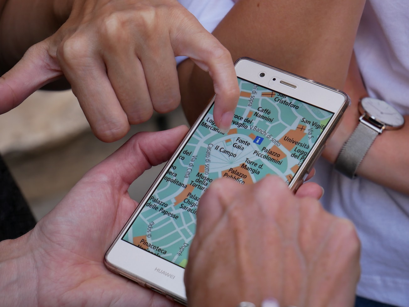
Photo by Sebastian Hietsch on Unsplash
Why is it important?
In our paper, we prove that crowdsourced information (e.g. OpenStreetMap) should be used in professional applications to help people in their daily and professional lives because of its high level of user trust. Our paper is important because it confirms the GIS community can expand their data sources to a wider range of informal data repositories; many of which professional bodies cannot or will not collect.
Perspectives
This paper is the culmination of my Volunteered Information research project, and proves all of the hypothesis hinted at during the first few studies. For this, and for removing all doubt about the application of this information, it is a landmark paper in the field of Volunteered Geographic Information.
Dr Christopher J. Parker
Loughborough University
Read the Original
This page is a summary of: User-centred design of neogeography: the impact of volunteered geographic information on users' perceptions of online map ‘mashups’, Ergonomics, May 2014, Taylor & Francis,
DOI: 10.1080/00140139.2014.909950.
You can read the full text:
Contributors
The following have contributed to this page