What is it about?
Understanding the incidence of abrupt declines and gains in arid land's vegetation by spotting them through satellites and mapping them through machine learning. In this study we classified vegetation trajectories in the last 20 years as abrupt and then we used machine learning algorithms to find the factors that make abrupt changes accumulate in given points of our planet.
Featured Image

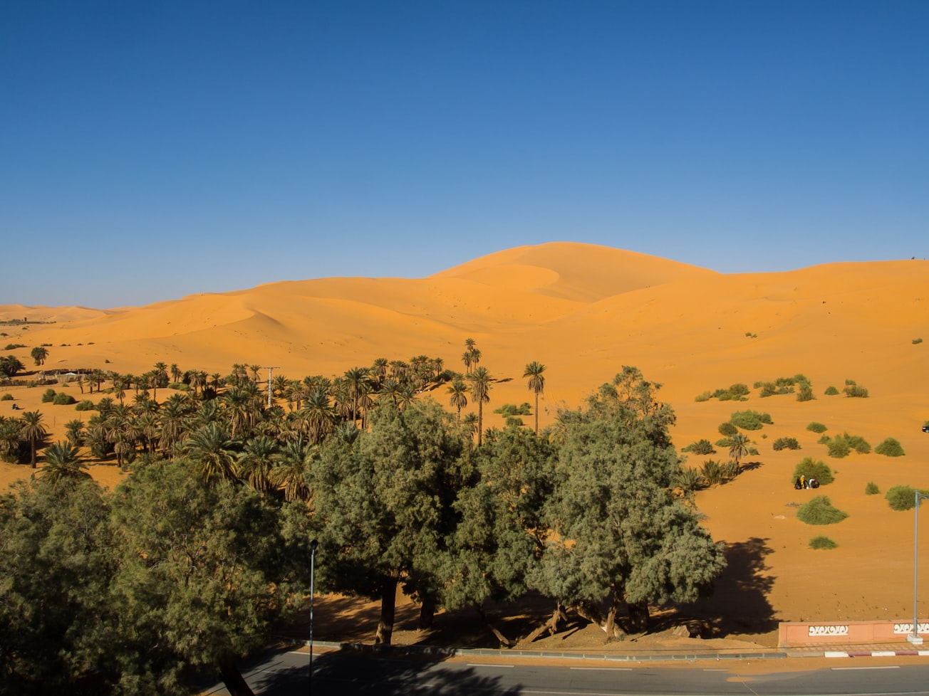
Photo by Halima Bouchouicha on Unsplash
Why is it important?
In this work we identified abrupt changes in vegetation, which are sudden profound and long lasting changes in the productivity of drylands. By counting how many of these changes occurred in the last 20 years we were able to further nuance how common are these behaviors in drylands (helping assessing its vulnerability). By mapping them we could investigate the regions of the planet that accumulate more of these type of changes, thus more vulnerable. Finally, by investigating which characteristics have these hotspots ofr abruptness, we found important drivers that might promote these tipping points; enlightening restoration and conservation efforts by helping to depict what makes a zone vulnerable to suffer abrupt and sudden vegetation shifts.
Perspectives
This work is the next step into understanding abrupt shifts in drylands; a key topic related with desertification and global change. Previous studies have shown that abrupt changes are quite common in drylands when you move to progressively more arid places through space. By showing that what has been shown before through space is also true in time, this work is advancing research of abrupt shifts and tipping points, providing information that is key for helping conservation and restoration policies.
Miguel Berdugo
ETH Zürich, D-CHAB
Read the Original
This page is a summary of: Prevalence and drivers of abrupt vegetation shifts in global drylands, Proceedings of the National Academy of Sciences, October 2022, Proceedings of the National Academy of Sciences,
DOI: 10.1073/pnas.2123393119.
You can read the full text:
Contributors
The following have contributed to this page


