What is it about?
We investigate a magnitude 5.2 earthquake that occurred in 2014 near Karonga, Malawi, using both local seismic data and satellite ground deformation data. The main earthquake and other aftershocks ruptured at ∼12 km deep, but the surface deformation is caused by a non-earthquake source from 3–6 km deep. The aftershocks occur seconds to minutes apart and have different rupture sources, suggesting a highly damaged zone. The depth discrepancy between earthquake locations and the non-earthquake energy source might be caused by this weak, damaged layer where many faults intersect.
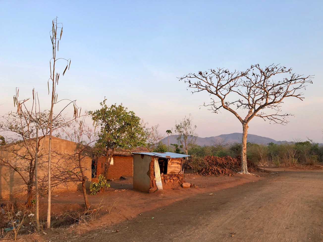
Featured Image

Photo by Tamara Gerwinat on Unsplash
Why is it important?
During the early stages of continental rifting, some accumulated tectonic energy is released with little or no earthquake activity (i.e., aseismic strain). This is most often observed in places where magma intrusion occurs. However, in rift basins lacking evidence of magma intrusion, how much and where the aseismic strain is released remains largely unknown. Our study suggests that a large portion of energy might be released as aseismic strain in a continental rifting system even for areas without magma activities.
Perspectives
Small earthquakes usually receive less attention than large earthquakes because people think they are not so much intriguing. This article combines the analysis from two sub-domains in Earth science (seismology and satellite geodesy) and shows that a relatively small earthquake still presents insightful characteristics for a regional tectonic system. Shoutout to all the co-authors as they together made this work possible!
Whyjay Zheng
University of California Berkeley
Read the Original
This page is a summary of: Aseismic Deformation During the 2014
M
w
5.2 Karonga Earthquake, Malawi, From Satellite Interferometry and Earthquake Source Mechanisms, Geophysical Research Letters, November 2020, American Geophysical Union (AGU),
DOI: 10.1029/2020gl090930.
You can read the full text:
Resources
Contributors
The following have contributed to this page


