What is it about?
• Remote sensing can be used to map peri-urban C stocks in reliable way (R2 > 0.6). • Quantitative analysis of sealing dynamics is possible combining peri-urban C stocks. • Under severe sealing, anthropogenic C stocks can equate organic C stored in soils. • When prime farm land soils occupy <60% of an area, preservation is hard. • Satellites can provide monitoring tools in aid of landscape conservation planning.
Featured Image

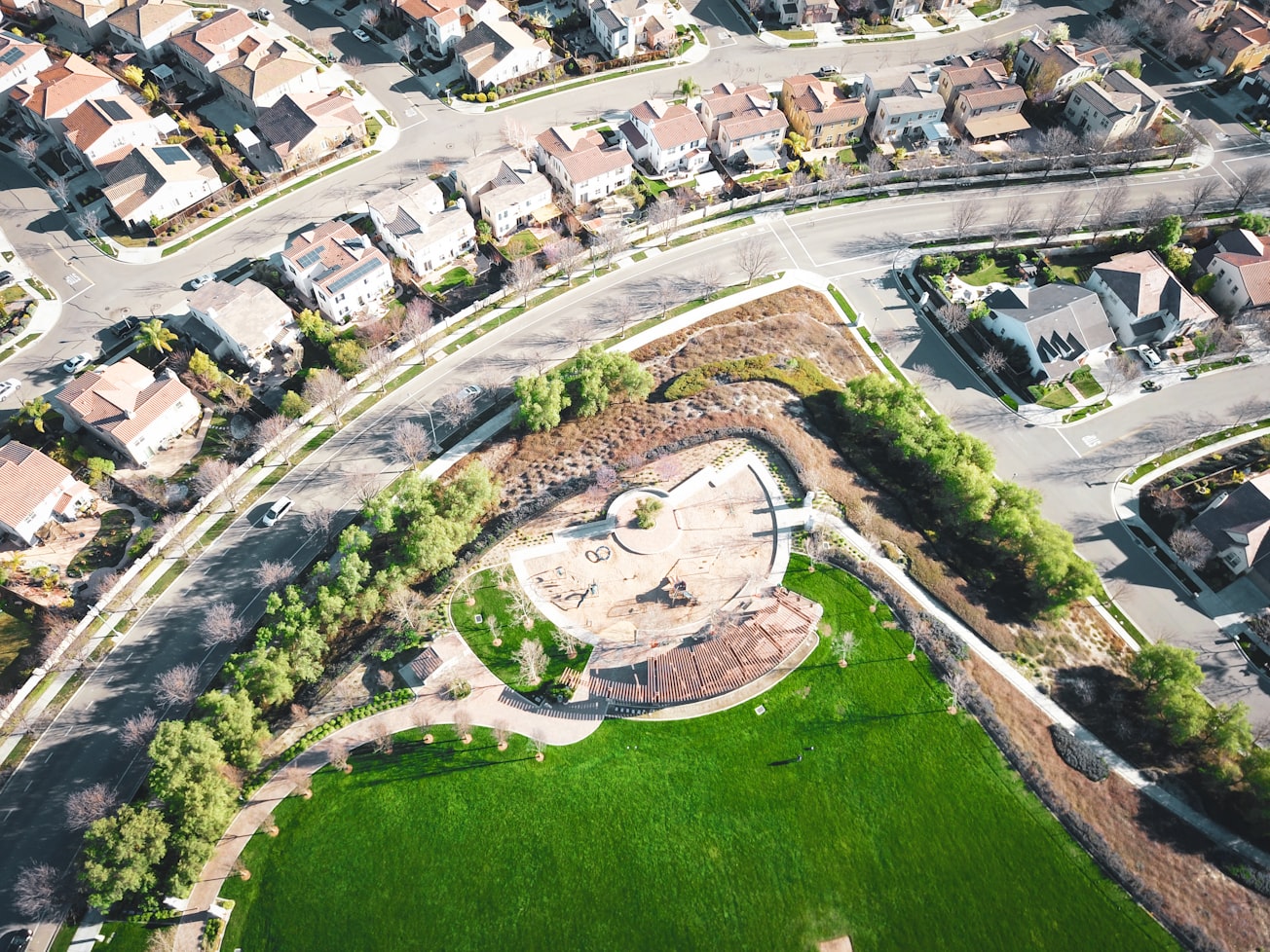
Photo by Koushik Chowdavarapu on Unsplash
Why is it important?
Peri-urbanisation is the expansion of compact urban areas towards low-density settlements. This phenomenon directly challenges the agricultural landscape multifunctionality, including its carbon (C) storage capacity. Using satellite data, we mapped peri-urban C stocks in soil and built-up surfaces over three areas from 1993 to 2014 in the Emilia-Romagna region, Italy
Read the Original
This page is a summary of: Multitemporal mapping of peri-urban carbon stocks and soil sealing from satellite data, The Science of The Total Environment, January 2018, Elsevier,
DOI: 10.1016/j.scitotenv.2017.08.250.
You can read the full text:
Contributors
The following have contributed to this page


