What is it about?
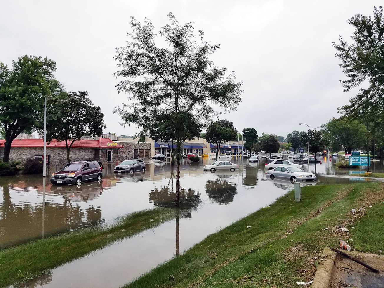
When residents of South Florida census tracts that are likely to see more flooding in the future as a result of sea level rise are shown flood maps of their neighborhoods, many still deny that their homes will be affected or that house prices in their neighborhoods will decline. These patterns are true for both the Atlantic and Gulf coast residents, but vary sharply by political party.
Featured Image

Photo by jim gade on Unsplash
Why is it important?
The portrayal of risks of sea level rise with detailed maps is assumed to affect resident knowledge, attitudes and behavior. It is important to discern the extent that political bias interferes with their effectiveness.
Perspectives
We were surprised to see that even those respondents who fully accept anthropogenic climate change and the imminent dangers of sea level rise in general, minimized the impacts of likely flooding to their own homes and neighborhoods. Therefore even targeted information about climate change can result in unintended effects.
Professor Risa Palm
Georgia State University
Read the Original
This page is a summary of: Climate Change and Sea Level Rise in South Florida, January 2020, Springer Science + Business Media,
DOI: 10.1007/978-3-030-32602-9.
You can read the full text:
Contributors
The following have contributed to this page


